The King Charles III England Coast Path is open. Here’s what that actually means for runners
A 2,700-mile National Trail around the edge of the country, inaugurated in March 2026. Not all of it is finished. Here is the honest version.
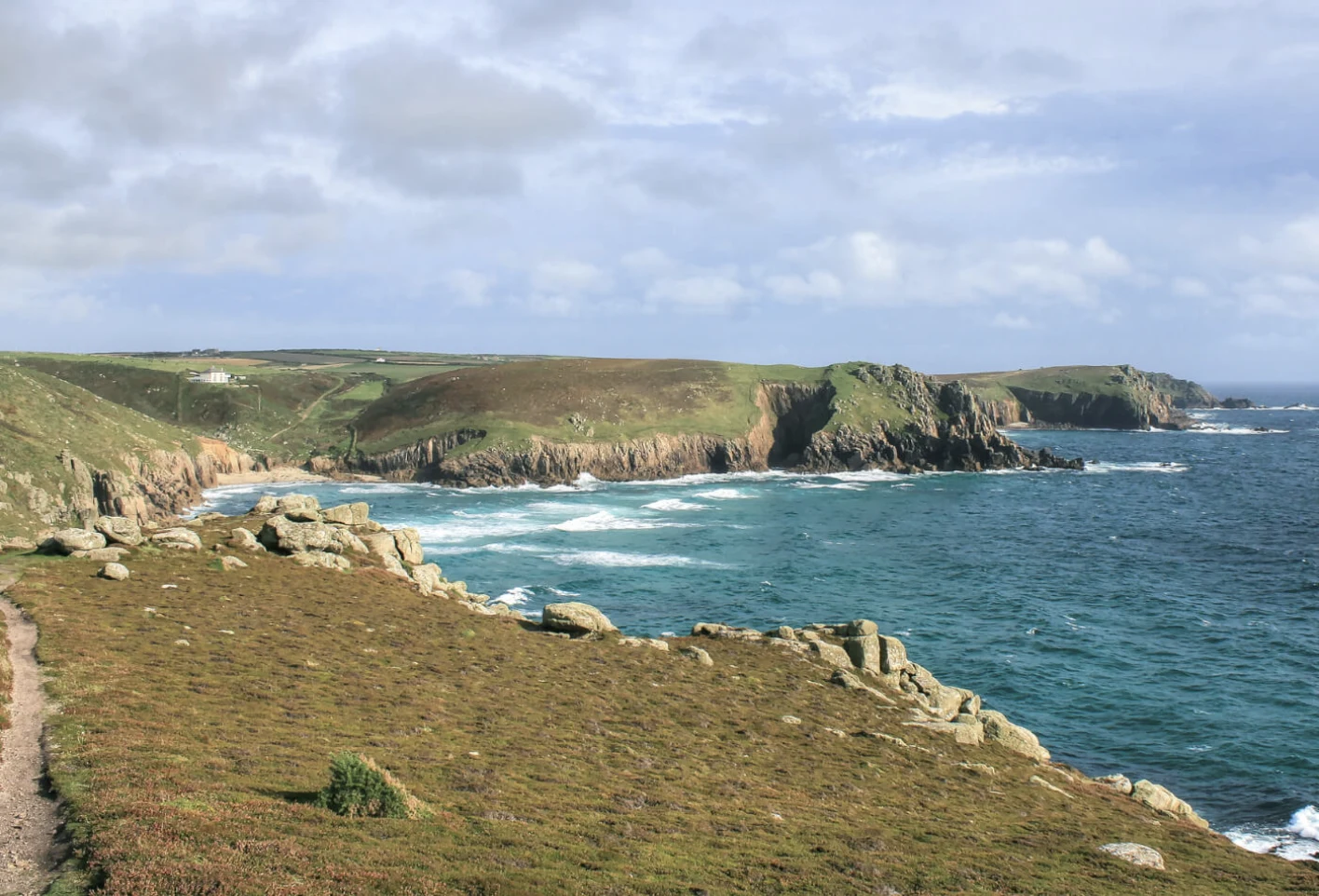
On 19 March 2026 the King formally inaugurated the King Charles III England Coast Path at the Seven Sisters in Sussex. When it is complete it will run for around 2,700 miles — the longest managed coastal path in the world, and a continuous right of way around the edge of an entire country.
That is a genuinely big deal, and it is worth being precise about it, because the headlines have been a bit loose. At the point of inauguration, Defra and Natural England said around 2,100 miles were open with full access rights in place, and that work continued on the remaining stretches. So: officially open, not entirely finished.
Why runners should care
Most of us already run bits of coast. What changes is the joining-up. A continuous, waymarked, legally secured route means point-to-point runs stop being a puzzle of permissive paths and dead ends. It means you can plan a long weekend around a stretch of coast you have never seen and reasonably expect to get through it.
It also means a lot of coast that was previously fenced off, or diverted miles inland, is now runnable. The estuaries and the industrial stretches are the interesting ones here — not classically pretty, often completely empty, and a very different experience from the honeypot cliff sections.
What it does not mean
- It is not a finished, uniform surface. Some of it is engineered path, some of it is a line across a field, some of it is shingle.
- It is not all open. Check the section you want before you drive four hours to it.
- It is not a safe route by default. Cliff edges are cliff edges, and the tidal sections around estuaries are exactly as serious as they sound.
- It does not replace local knowledge. Coastal weather turns fast and the path rarely offers a quick way inland.
Where we are starting
We are Cornish, so we are starting in Cornwall and working outward. Our first routes cover Penwith and the Lizard. If you know a stretch of English coast properly — the parking, the tides, where the water is, which bit is horrible in February — we would like you to write it up. That is how this site gets useful.